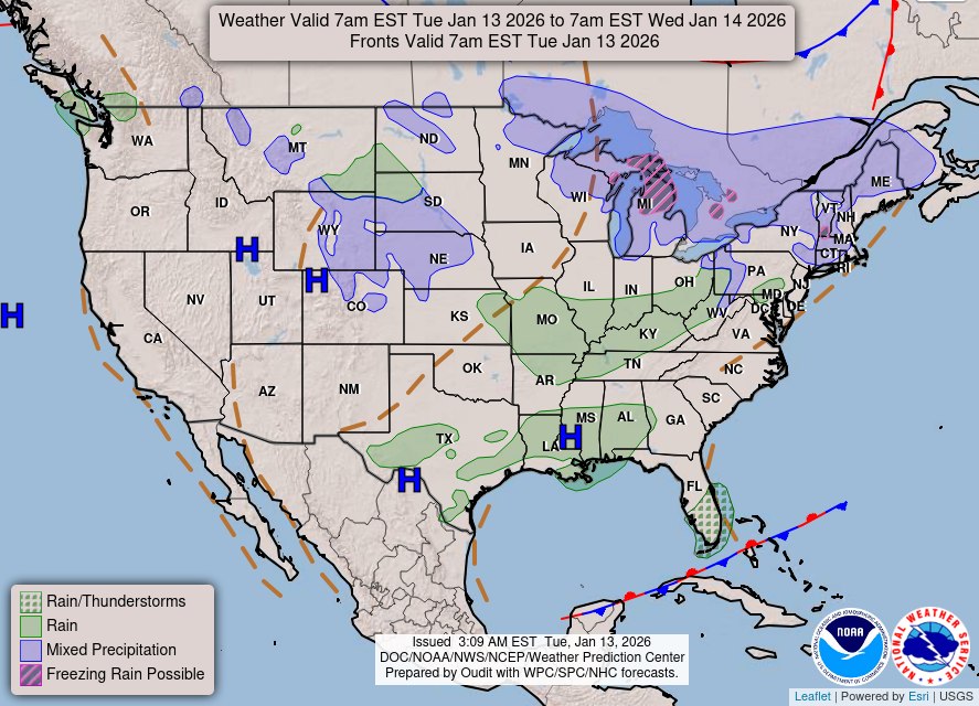
Utah Balloonist WX NWS Observations, Salt Lake City, UT KSL Vortex Radar NWS Forecast Office, Salt Lake City, UT NWS KSLC Winds Aloft NWS KSLC Soaring Forecast – lists the most recent sounding then has forecast winds in 4-hour increments USAirNet Winds Aloft (SLC Forecast)– graphical MesoWest – N. Utah – U of U listing of reporting stations. Deer Valley – Bald Eagle Mountain (8400 ft) Deer Valley – Mount Baldy (9347 ft) Deer Valley – Empire Peak (9570 ft) PCMtn – Payday (8275 ft) PCMtn – Crescent (8700 ft) – N/A* PCMtn – Bonanza (9200 ft) – N/A* PCMtn – Silverlode (9210 ft) – N/A* PCMtn – Jupiter (10,024 ft) Canyons – Condor (8999 ft) Canyons – Dreamscape (9250 ft) Canyons – 9990 (9990 ft) Park City Municipal G.C. (6855 ft) – N/A* Alta – Top of Collins (10,443 ft) Solitude Powderhorn (9888 ft) Solitude Honeycomb (10,488 ft) Kimball Jct. (6304 ft) I-80 @ Silver Ck Jct (6498 ft) US-40 Mayflower Summit (6929 ft) North Jordanelle (6851 ft) UVU Wasatch Campus (5748 ft) Heber City Municipal (5597 ft) MesoWest – Vernal: Vernal Airport (5262 ft) US40 @ MP140 (5710 ft) USU Vernal (5464 ft) 4215 W Main (5774 ft) MesoWest – Salina: Centerfield (5165 ft) I-70 @ Sigurd (5226 ft) Richfield Airport (5299 ft) Signal Peak (8767 ft) MesoWest – S. Utah: N. Panguitch (6550 ft) Panguitch Airport (6759 ft) Blanding (6001 ft) Bluff (4390 ft) Kanab Airport (4865 ft) SW Tech, Kanab (4915 ft) National Weather Map (Click on map to see animated version) * Mesowest reporting stations with a strike through are only available seasonally. The link still works in case you want to check if that station has become live. Blastvalve Weather: KSLC, KPVU, KHIF KSLC LAMP Forecast KSLC 3 day BalloonCast Ventusky: Salt Lake City Provo St. George Misc.: FAA NOTAM Search NOAA Solar Calc for Sunrise/Sunset Times Sunrise/Sunset Times (Salt Lake City) Ventusky: Logan Ogden Cedar City Share this:TwitterEmailPrintMorePocketFacebook